More than a list of green spaces
Lansing’s parks are easiest to understand as a system rather than a directory. The river corridor supplies one spine. Neighborhood recreation grounds and community centers supply another. Gardens, golf courses, nature preserves, playing fields and heritage places introduce specialized landscapes. Together they show how the city repeatedly adapted open land to different civic purposes without erasing the underlying geography.
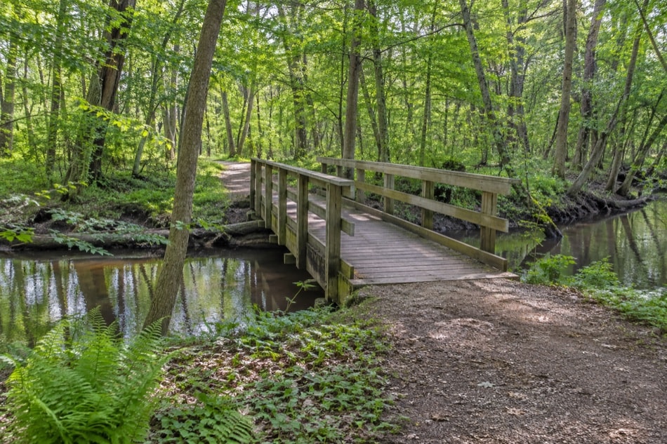
The Grand and Red Cedar rivers shaped many of the most recognizable park experiences. Riverbanks offered space for walking, trees, open lawns and later trail connections, while the floodplain limited other kinds of development. The same low ground that complicated settlement could support a continuous green corridor. That relationship explains why water, trees and recreation appear together so often in Lansing’s civic landscape.
Nature, heritage and neighborhood use
Fenner Nature Center represented a mixed landscape of maple grove, pine woods, swamp forest, old field and ponds. Turner-Dodge House connected public use with Old Town history at a bend in the Grand River. Potter Park and its zoo occupied another place in the river corridor. These sites were different in purpose, yet each joined a specific setting to a broader public story.
Neighborhood recreation was less singular and often more practical. Foster, Gier, Letts and Miller Road appeared as community centers. Scott Field, sports grounds and aquatics broadened the system. A community center could support classes and gathering; a field could accommodate organized play; a small park could provide shade and an open patch close to home. The value of the network came from this range of scales.
Designed landscapes
Cooley Gardens and the rose garden at Frances Park expressed a cultivated tradition. The woodland trail at Frances Park offered a contrasting experience nearby. Formal beds ask visitors to notice sequence, color, edge and viewpoint; woodland paths invite attention to canopy, slope, soil and seasonal change. Both belong within a park tradition because both shape movement and observation.
The municipal golf grounds—Groesbeck, Red Cedar, Sycamore and Waverly—also formed large designed landscapes. Their open fairways, clusters of mature trees and low ground carried recreation at a scale different from a neighborhood park. Historical planning counted golf courses alongside additions to Potter Park, Scott Field and riverbank improvements, showing that recreation and city form were considered together.
Planning across time
The 1922 city plan criticized an earlier hit-or-miss approach to parks. By the 1938 revision, roughly 300 acres of parkland had been added since 1930. That growth did not make the network complete. Annexation soon expanded the city’s footprint dramatically, creating new edges and new demands. Each era inherited landscapes from the previous one and had to decide which spaces to connect, maintain or adapt.
This long view also clarifies why park history should not be mistaken for current visitor information. Grounds change, facilities change and programs change. A guide can explain that a place belonged to the public landscape and describe the role it played, but current conditions must be confirmed elsewhere. The focus here stays on relationships: river to trail, neighborhood to center, garden to path, and plan to canopy.
Four ways to explore the system
- Follow water. Begin with the Lansing River Trail and notice how parkland gathers along the Grand and Red Cedar.
- Follow habitat. Compare Fenner’s mixed environments with the wet woodland described in the urban forest history.
- Follow civic design. Read gardens and public planting beside the city-planning story.
- Follow recreation. Place community centers, Scott Field and municipal golf grounds within the expanding city.
No single park summarizes Lansing. The system’s identity lies in its variety and in the connective work among sites. River trail, street tree, garden bed, field and nature path all reveal a city negotiating between water, growth and public space.
That variety also supports different kinds of attention. A field makes distance visible, a garden rewards close inspection, and a wooded path makes season and moisture hard to ignore. Moving among them turns recreation into a way of learning the city’s physical structure. Even modest spaces contribute when they connect a neighborhood to shade, open ground or the larger river landscape.